The spit began life 6,500 years ago and today two-thirds of its constantly evolving form is classified as unstable. Pushed by prevailing westerlies the spit lengthens every year by six and a half metres. Its northern coast is pounded by the Tasman Sea, while its sheltered southern shores provide a safe haven for shellfish and waders. It’s a fragile ecosystem protected by the Department of Conservation (DOC); no public vehicle access is permitted and only four kilometres of its 35 kilometre length may be seen on foot.
To journey to the gannet colony at the end of the spit, visitors must join a guided trip. The team at Farewell Spit Tours know the spit well. In 1946 they began a mail run to the lighthouse, transporting supplies to the keepers and their families. Visitors who were interested came along for the ride, and so the tours began.
Manager, Paddy Gillooly is a local born and bred. His family dates back to Collingwood’s boom days, the 1850s Aorere gold rush when everyone thought the town should become the capital. When rush ended, many families departed, but the Gilloolys stayed on. Paddy says Kiwis who visited the spit as children in the ‘50s, are now returning and bringing their grandchildren.
We set off in a unique 4wd vehicle with tiered seating, so everybody had a great view. Our guide for the day, Kersten Franke, likened the spit to a kiwi bird. “It’s a kiwi beak,” he said. “The migratory birds look down, see the beak and know they’ve arrived in New Zealand!”
Kersten says Farewell Spit is one of 28 fly way points for migratory birds around the world and in 1938 it became a wildlife sanctuary. On the sheltered inner beach we see many natives: white herons, South Island pied oyster catchers, banded dotterels and Caspian terns. As we cross the dunes to the Tasman Sea the migratory birds come out to play. There’s the turnstone, an inquisitive bird busily examining stranded debris – they’ll soon be off to the Northern Hemisphere to breed on the Arctic Coast – and throngs of Eastern Bar-tailed Godwits preparing for their journey to Northeastern Siberia.
It’s 27 kilometres to the lighthouse and the scenery is desert-like. Crescent-shaped dunes rise high above blackened salt pans and small sand storms dance along the shoreline. Sand storms are not uncommon here with the spit often experiencing strong winds of 22 knots (40 km/h) or more. Windy, dry and semi-arid, it’s an inhospitable place to live as the first lighthouse keepers discovered.
A lighthouse was erected in 1870 after officials decided 10 shipwrecks within a 20 year period was one too many. Built from jarrah, an Australian hardwood, it was blasted to pieces by sand, so a new steel tower was built in 1897. To provide protection the keepers planted a shelter belt. Today this can be seen from Collingwood; it looks like an island on the horizon.
The lighthouse buildings are now used to display the old lenses and one is used for the safari. Inside its walls are plastered with historical photos; the map from 1945 is particularly interesting because you can see how fast the spit is growing: the shell banks upon which the gannets now nest did not exist back then.
We head along the beach, past clumps of kelp, scattered driftwood and basking seals to the colony which began in 1983 with 30 pairs of nesting birds. It’s a strange set up for gannets as they usually prefer to breed on rocky outcrops. As we walk towards them a few curious birds with gorgeous golden crowns fly by checking us out. Over on the shell banks their smoky-grey young flap their wings, preparing for their inaugural flight.
Later as the sun sets, casting a golden glow on the wet sand flats, we return to Collingwood, our resting place for the night. We're woken early by our neighbours, keen hikers, who are heading off into the wilderness with their compass and map.
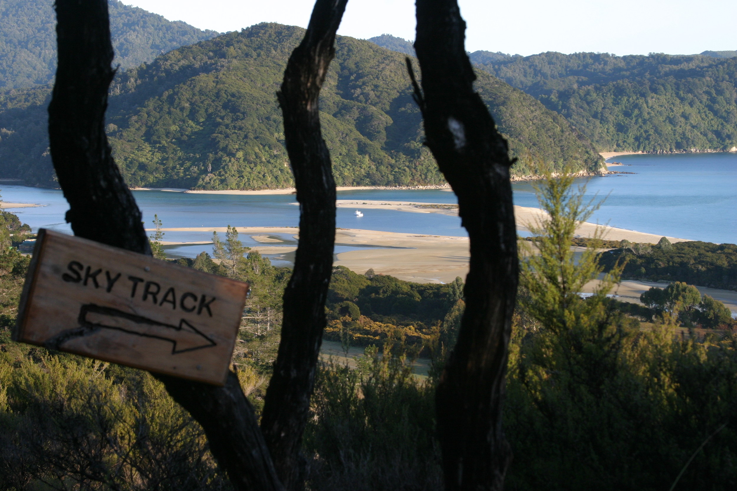
There’s a good variety of walking tracks in the region to choose from including the famous Heaphy Track, a five day walk to Karamea through Kahurangi National Park. The drive to the start of the track, up the Aorere Valley and through Rockville and Bainham, is very scenic. From Bainham the road deteriorates somewhat, splashing through a series of fords before coming to halt at a popular picnicking spot beside the Aorere River.
On the return journey, we stop for a cup of tea and a scone at Langford’s Store in Bainham. It’s run by Sukhita Langford, a kindly spirited woman who happily chats to everyone passing through. The store was opened by Sukhita’s great-grandparents in 1928 and an old Grey’s tobacco sign still hangs on the wall. And you’re historically-minded, there’s not a lot that Sukhita can’t tell you, from local coal mining in Puponga to the Aorere gold rush.
The Aorere Goldfield is located nearby, past the Te Anaroa Caves and the Devils Boots – a couple of unusual limestone formations that look just like giant gumboots. Gold was found here in 1857 and Aorere became New Zealand’s first major field. The rush lasted for three years and attracted 1,000 men to the region but they were soon enticed further south by greater finds on the West Coast. Signposted tracks lead to the remains of their sluicing machinery which is scattered amongst the bush.
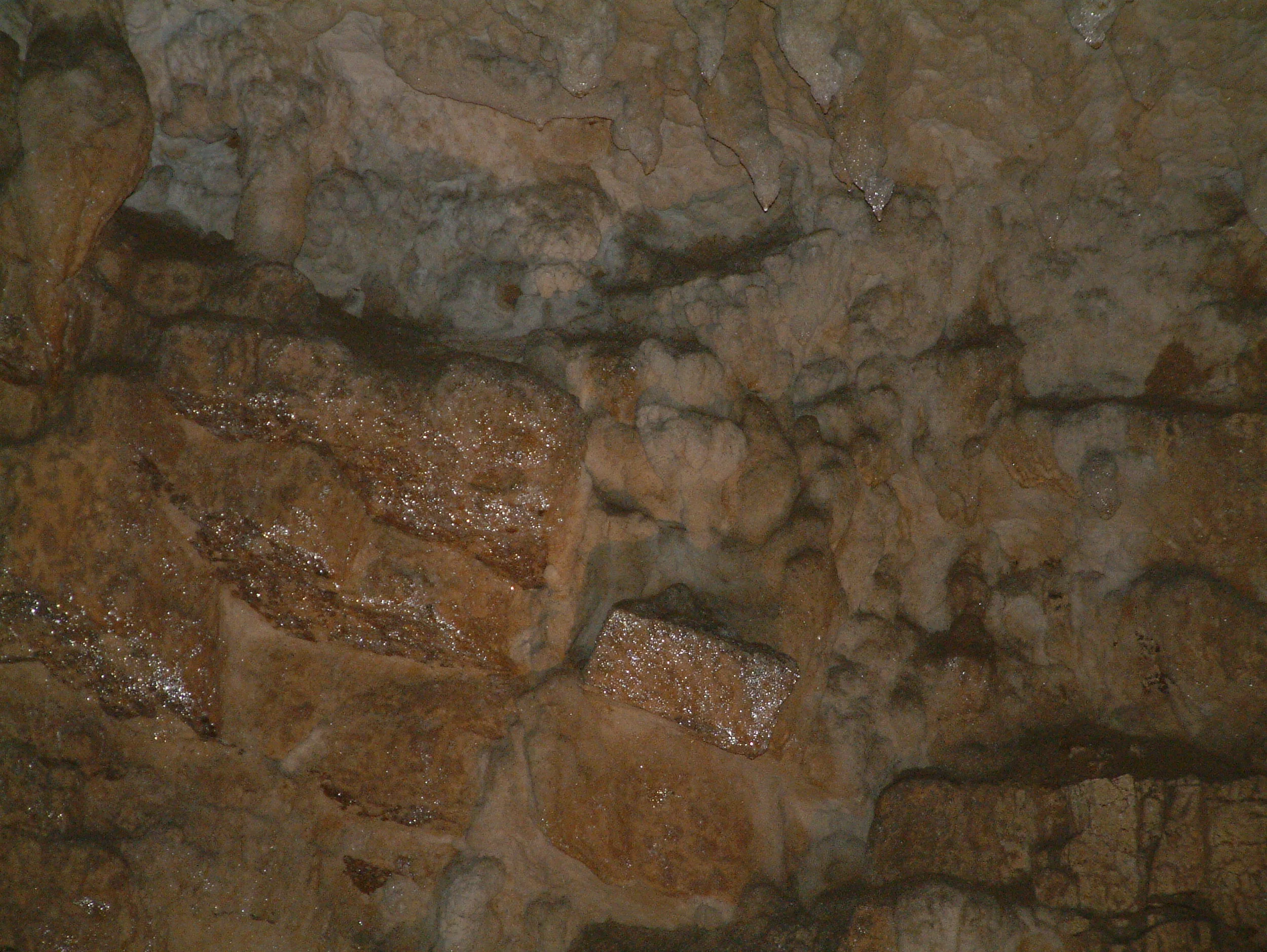
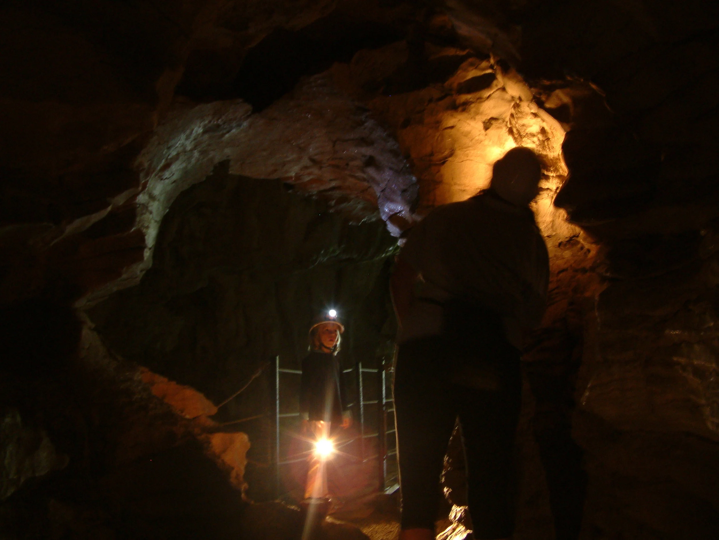
Meanwhile, the Te Anaroa Caves were discovered around the same time by the Lash family who bought a farm in the area and named it Rockville. Since then adjoining caves – the second Te Anaroa Cave and the Rebecca Glowworm Cave – have been found. The caves are usually open in the summer for guided tours and feature many beautiful icicle-like limestone formations including stalactites, stalagmites, bacon drapes, straws and columns. Other highlights include fossilised scallops, penguin bones and gypsum flowers.
Past cave explorers have also left their mark, by signing their names on the cave walls. The earliest signature is by WD Lash and is dated 1884.
In Collingwood the old cemetery gives an insight into the lives of the early settlers, and recalls the shipwrecks, floods and fires which have plagued the town’s history. Due to fire, Collingwood’s oldest remaining building is St Cuthbert’s, a tiny Anglican church built in 1873. Located on a hill it offers a superb view of this intriguing little town: a cluster of homes on a small sandspit, sandwiched by the Aorere River Inlet, a series of mountain ranges and the aureate shores of Golden Bay. Immediately below the church is the Courthouse, built in 1905, now housing a popular cafe, and a tiny museum with a small but interesting collection of pieces.
The region offers a number of excellent road trips including the journey to the beautiful Kaihoka Lakes, set amongst a forest of nikau palms, and the marine reserve at Whanganui Inlet, the second largest estuary in the South Island. Further along the route is Mangarakau, an old coal mining village, followed by a cluster of baches at Anatori. The road ends here but if you have 4wd you can continue as far as the Turimawiwi River.
The road to Puponga at the base of Farewell Spit hugs the coastline, passing a small shellfish processing plant, where harvested cockles are chilled and exported. The town has a long coal mining history but the last mine closed in the 1970s and now all that remains is the old jetty poles which protrude from the sand at low tide. The road comes to an end at Puponga Farm Park, created by the New Zealand government to form a protection belt around Farewell Spit.
The DOC information centre provides information on local hikes, or you can enjoy coffee on its extensive decks, and there’s a whale distress kit at hand if required. It’s a grim reminder that whales often beach here, however thanks to unfailing efforts of locals and visitors, many are rescued in the nick of time.
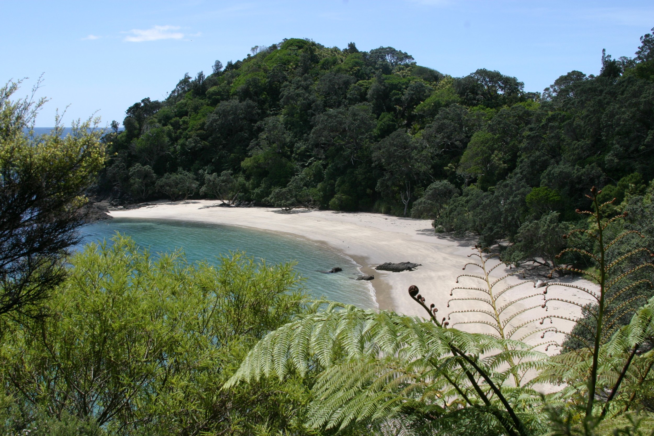
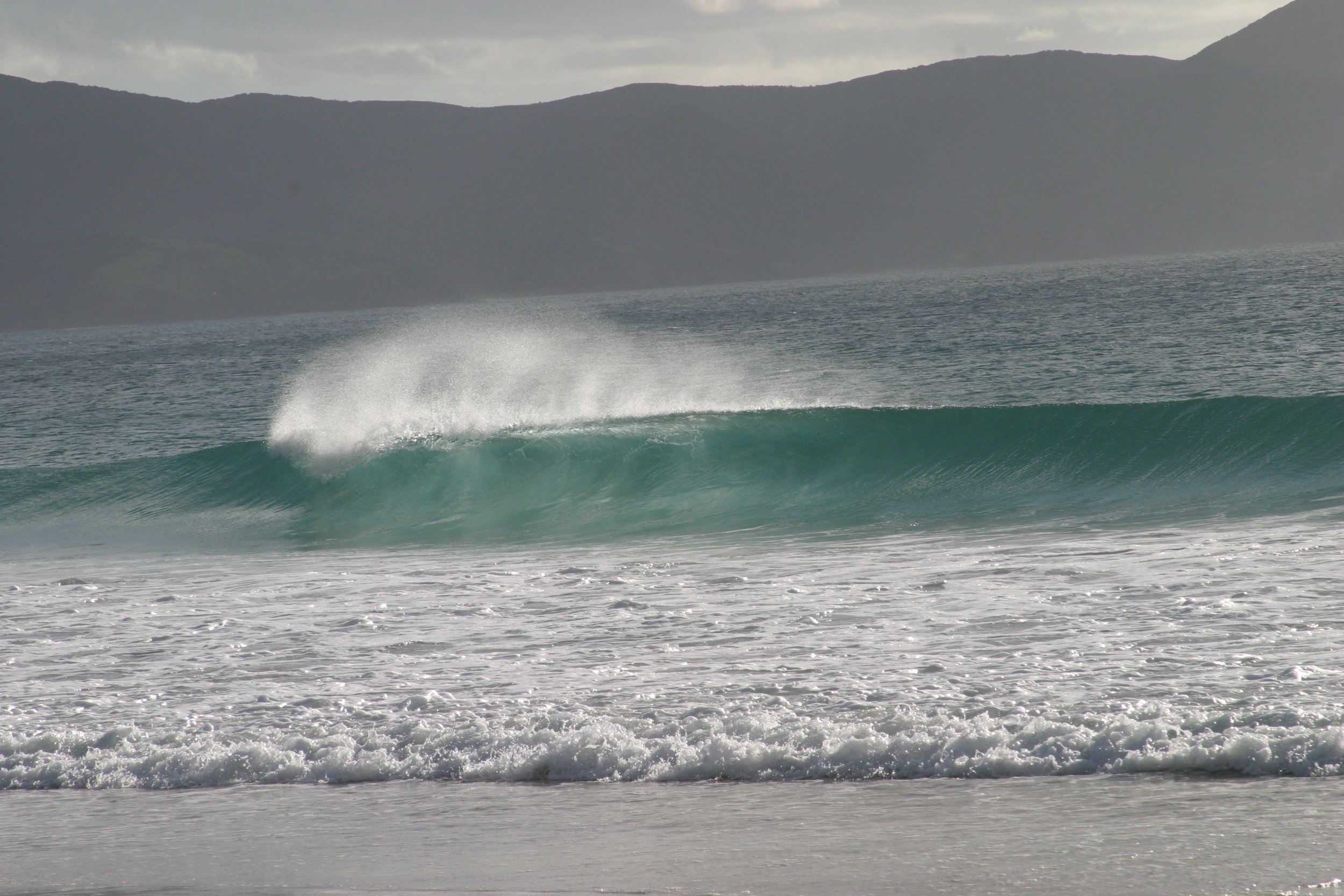
We tackle the easy 20 minute walk to Wharariki Beach – a gorgeous West Coast beach with a spectacular jumble of caves, islets, rock pools and sand dunes. It’s a photographer’s paradise. Other popular walks include Cape Farewell, where Captain Cook said goodbye when he left New Zealand in 1770; the rocky outcrops of Old Man Range; and the Pillar Point Light, dubbed ‘blinking billy’ by the locals.
Pillar Point is the site of New Zealand’s first radar station which was used during WW2. A good way to reach the light is on a horse riding expedition with Cape Farewell Horse Treks. There are a variety of routes to choose from including Puponga Beach and Old Man Range, good easy rides for beginners. The more advanced will enjoy Wharariki Beach.
I board Bungle, a sprightly cod-liver chestnut with a dark mane and tail, for the ride to Pillar Point. From the top the views are stunning – a 360 degree sweep from Farewell Spit through to Abel Tasman National Park. Even the North Island’s Mt Taranaki can be clearly seen on the horizon.
It’s a hard place to leave, but leave we must for we have a date with Takaka, the largest town in Golden Bay.
We’re ravenous when we arrive in Takaka so we head straight for the Anatoki Salmon Farm, a fresh water salmon farm located in a sheltered valley beside the Anatoki River. Here you can fish to your heart's content and pay only for what you catch. All fishing gear is supplied and you can have your catch hot smoked to eat in their cafe, or take it home fresh to barbeque.
Meanwhile our four kilogram fish is gilled and gutted, then packed carefully on ice inside a polystyrene box for our journey to Sans Souci Inn, a popular lodge in the seaside village of Pohara, located on the outskirts of Takaka.
Here, we’re greeted by the chef, who, spying our salmon, whisks it into the manuka smoker while we check into this beautiful Mediterranean style building surrounded by cobbled courtyards, lush tropical gardens and a large orchard. Sans Souci was built by its owners, Vera and Reto Balzer, using natural eco-friendly materials: handmade mud bricks, clay tiles and timber. The ceiling is insulated with turf. Of particular interest is the centrally located shared bathroom, which features spotless, sweet-scented composting toilets.
The composting is an intricate process but simply put, excrements, sawdust and lawnclippings are turned into organic matter by micro-organisms which create enough heat to kill harmful germs. The process takes about two years and the end result is a rich compost which can safely be used as an organic fertiliser for trees. A fan, located at the back of the seat, keeps the area aerated, so there’s no unpleasant smells.
Needless to say the lodge’s eco-friendly ways are quite a talking point amongst guests, many of whom are keen environmentalists. The atmosphere is relaxed and friendly, and because it’s only a short drive to Abel Tasman National Park, it’s a favourite amongst outdoorsy people.
The scenic route to the park winds around Ligar Bay, past the Abel Tasman memorial and Tata Beach to the Wainui Falls. It takes 40 minutes to hike through bush and across a swing bridge to the base of the falls. From Wainui the road continues through dense forest before emerging beside the orange-tinted sands of Totaranui.
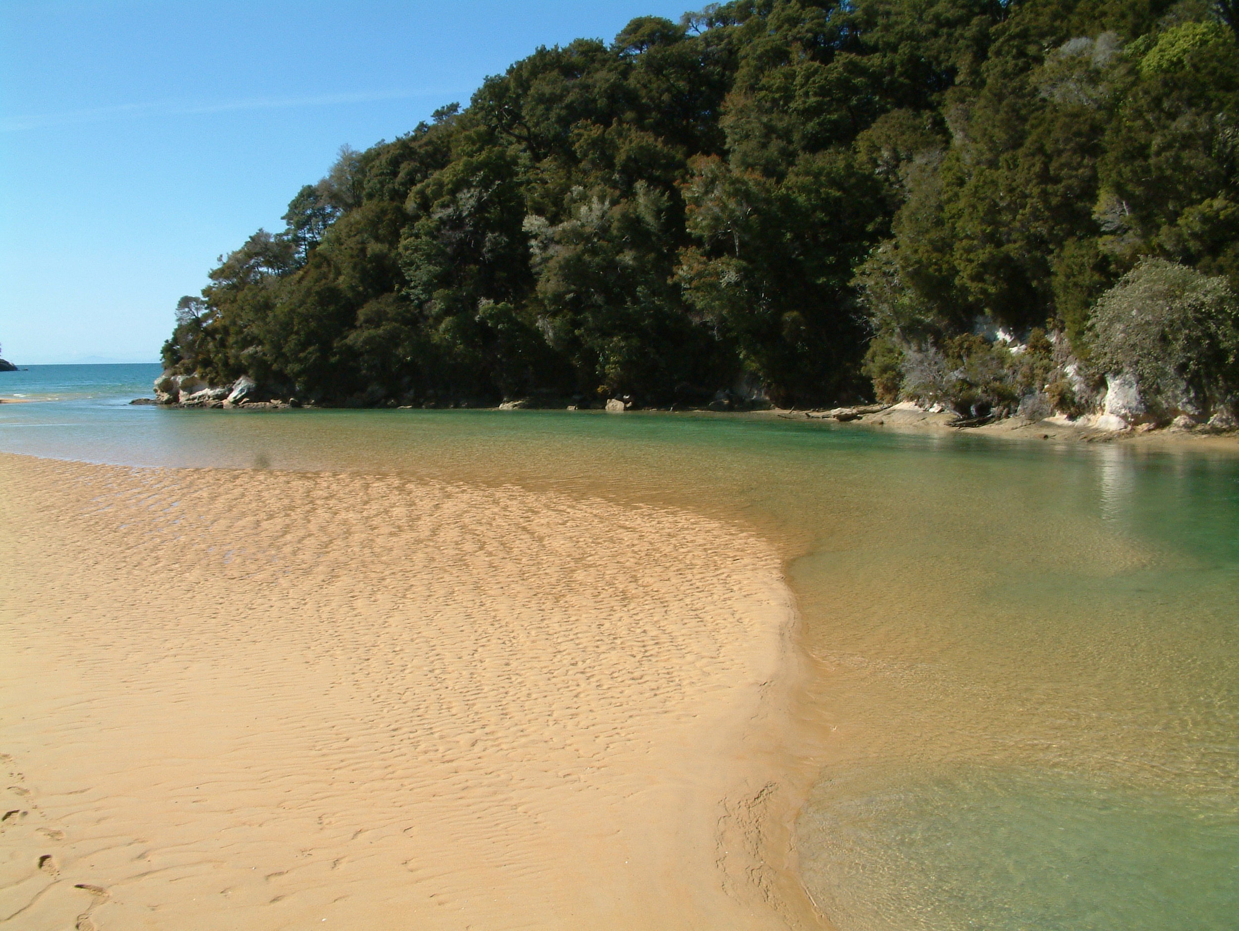
Here, at the DOC information centre you can choose from a variety of hikes ranging from 20 minute strolls to five day tramps. The one hour Coast Track to Anapai Bay is a popular walk and it’s well known as one of the park’s loveliest bays.
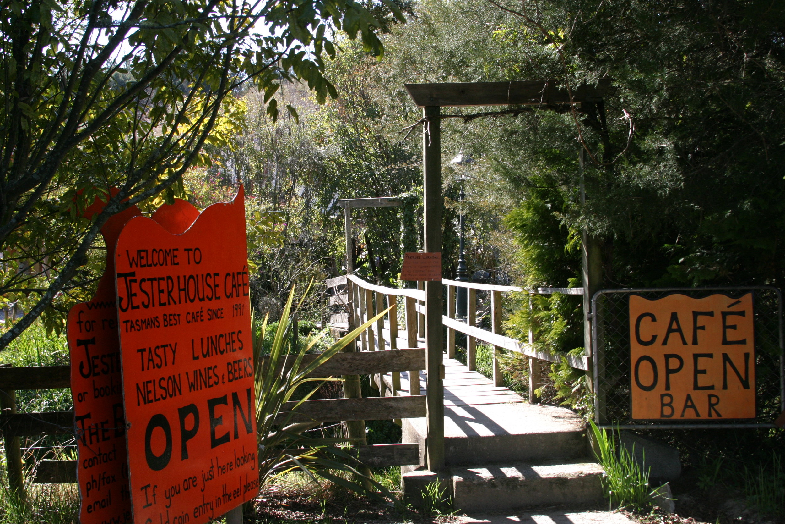
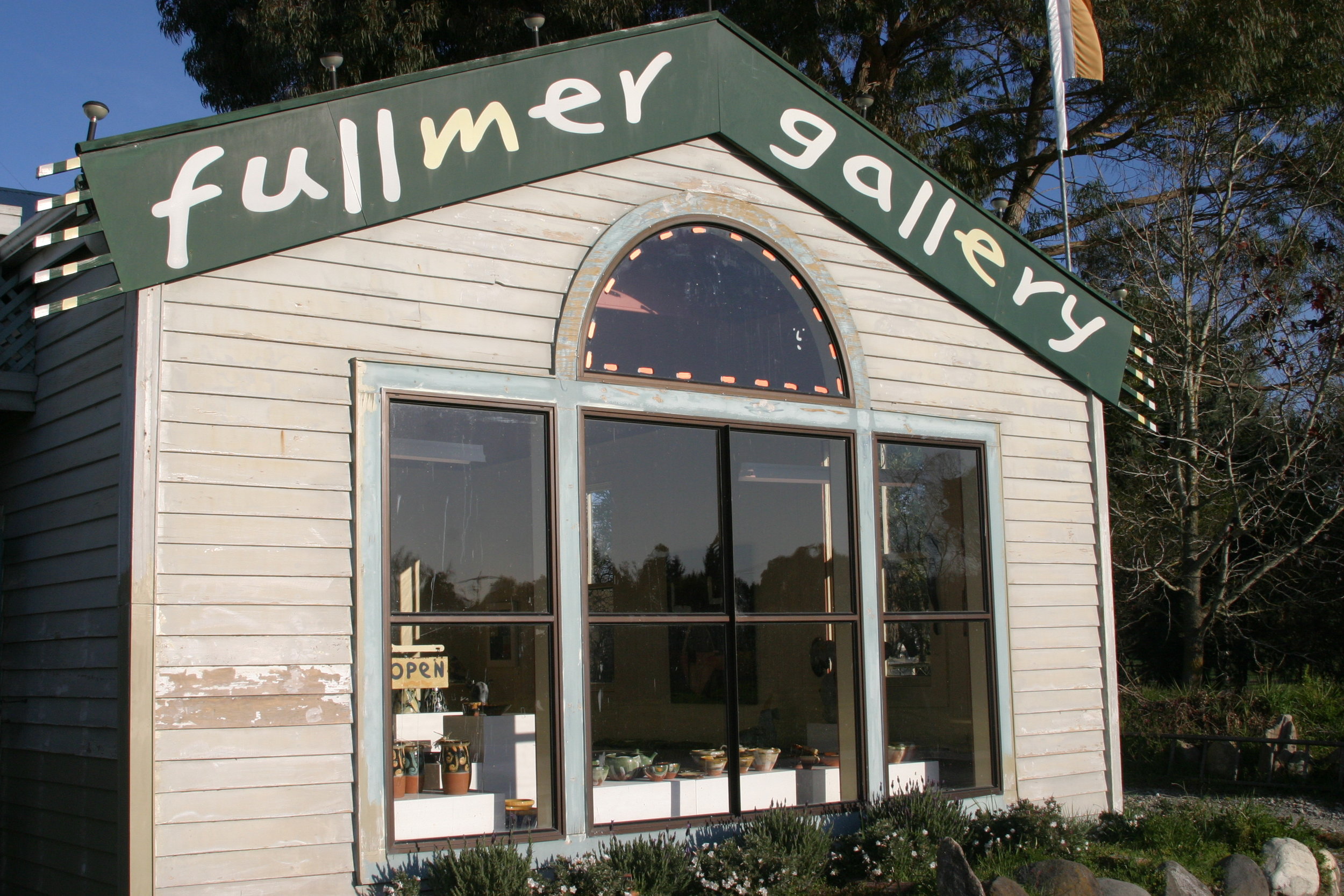
For those who prefer to wear out their shoe tread in a different manner, Takaka has more than its fair share of quirky cafes, craft studios and galleries. A popular pilgrimage for locals and visitors alike, is to the Mussel Inn where publicans, Jane and Andrew Dixon serve their own brews, made with locally grown hops.
A 10 minute drive out of town leads to some of the clearest freshwater springs in the world. The Waikoropupu Springs rise through thick layers of ancient marble and discharge approximately 14,000 litres of water per second. The beautiful iridescent blue and green pools are home to freshwater snails, long finned eels and freshwater crayfish, and jungles of water milfoil, forget-me-nots and rushes grow tall. The springs, like all the places we've visited in Golden Bay, are nothing short of special.

